GEOD BALI (Echosondeur – singlebeam)
Light autonomous bathymetry system
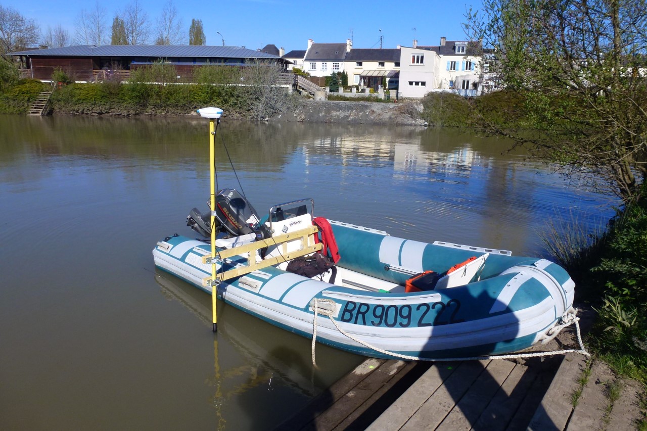
GEOD BALI is a compact hydrographic measurement system, holding on a simple cane, and including all the sensors necessary for the acquisition of bathymetric data:
DGPS and RTK (centimeter accuracy in real time)
sounder
Internal Webserver
drums
GEOD BALI processes and stores the synchronized water depth measurement with a precision georeferenced position. GEOD BALI is now available in:
DGPS for accuracy <0.6m;
GSM RTK for centimeter accuracy with NTRIP network (Orpheon, Teria, Sat-info …);
UHF RTK for centimeter accuracy with your own reference station.
Thanks to the 200 kHz transducer with built-in temperature sensor, GEOD BALI automatically calculates the speed of the appropriate sound, and adjusts the measured water height accordingly.
GEOD BALI can also be coupled with bathymetry software, such as QINSy Inshore or Hypack Max, offering additional features in project preparation, navigation, acquisition and mapping of bathymetric data


